11 HOBOMACK RD
Owner Information
ROUX KEITH
11 HOBOMACK RD
QUINCY, MA 02169


Property Details
11 HOBOMACK RD is classified as a Single Family Residential (Colonial).
The primary structure on this property was built in 1905. There are 3,766ft2 of built area within this property. There is 1,722ft2 of residential/living space within this property. This property is listed as having 7 rooms.
11 HOBOMACK RD is valued at $542,000. The land is valued at $250,200 and the structures are valued at $278,700. There is an additional valuation of $13,100 on this property.
This property is in Zone RES A. Confirm with local Zoning Board authorities to ensure there are no overlays or other easements on this property.
The most recent deed for 11 HOBOMACK RD is recorded at the local registrar in Book 34413, Page 0591. 11 HOBOMACK RD was last sold on Tuesday, August 30, 2016 for $625,000.
Assessment data from fiscal year 2020.
Flood Data
According to the FEMA National Flood Hazard Layer, this property does not appear to be in a flood zone. It may also be in an area not yet reviewed. Nonetheless, confirm this information prior to taking any action.
To view the flood hazards around this property, create a FEMA "Firmette" Map of the area around 11 HOBOMACK RD.
Broadband Internet Providers
| Provider | Type | Bandwidth (mbps) | |
|---|---|---|---|
| Verizon New England Inc. | DSL | 10 | 1 |
| Viasat Inc | Satellite | 100 | 3 |
| VSAT Systems, LLC. | Satellite | 2 | 1 |
| HughesNet | Satellite | 25 | 3 |
| GCI Communication Corp. | Satellite | 0 | 0 |
| T-Mobile | Fixed Wireless | 25 | 3 |
| Comcast | Cable | 1000 | 35 |
Broadband service provider data from December 2020.
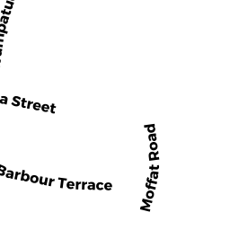
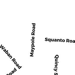
Adjacent Properties
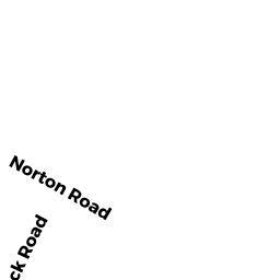
- 5 NORTON RD
Single Family Residential owned by GRIMALDI MARIE TREE - 9 NORTON RD
Single Family Residential owned by MENZEL MICHELE A - 13 NORTON RD
Single Family Residential owned by LINEHAN DORIS M - 15 HOBOMACK RD
Single Family Residential owned by RULL DANIEL J III - 30 CHICKATABOT RD
Single Family Residential owned by HEALY SEAN P